Woodland in England as a share of the land, 1086 to 2026
Estimates put woodland at about 15% of England at the time of the Domesday survey, in 1086. It fell to 5.1% by 1924. Since then it has roughly doubled, to 10.3% in 2026.
What does this axis measure?
Woodland cover (% of land)
What does this axis measure?
Year
Reveal the axesHide the axes
- y ↑
- Woodland cover (% of land)
- x →
- Year
Show the story, the data and the sourceHide the story, the data and the source
The data: 9 points
| Year | Woodland cover (% of land) |
|---|---|
| 1086 | 15 |
| 1350 | 10 |
| 1905 | 5.2 |
| 1924 | 5.1 |
| 1947 | 5.8 |
| 1965 | 6.8 |
| 1980 | 7.3 |
| 1998 | 9.5 |
| 2026 | 10.3 |
- Ran in puzzle #48 on November 13, 2026. Play it
More like this
-
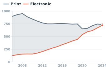 U.S. public libraries: print vs electronic materials spending, fiscal 2006–2024
Materials spending ($ millions) ↑
Year →
-
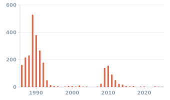 US bank failures by year, 1986–2025
Bank failures (count) ↑
Year →
-
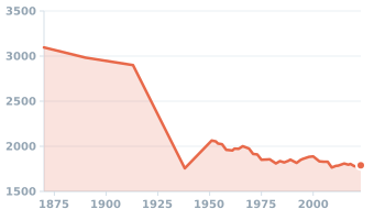 Hours worked per worker per year in the United States, 1870–2023
Working time (hours per year) ↑
Year →
-
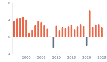 US real GDP growth by year, 1996–2025
Economic growth (% per year) ↑
Year →
-
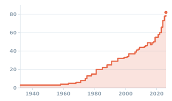 Price of a U.S. first-class stamp at the end of each year, 1932–2026
Stamp price (cents) ↑
Year →
-
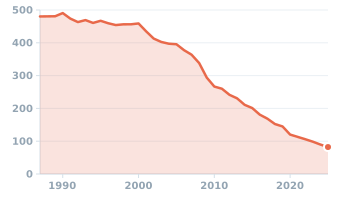 Jobs at US newspaper publishers, 1987–2025
Newspaper publishing jobs (thousands) ↑
Year →