Atlantic surface salinity along 30°W by latitude (minus is south)
The surface is saltiest near 17.5°S and 27.5°N, where the sun evaporates more water than rain returns. Under the tropical rain belt, at 7.5°N, it falls to 35.8 grams per kg.
What does this axis measure?
Salinity (grams per kg)
What does this axis measure?
Latitude (°N)
Reveal the axesHide the axes
- y ↑
- Salinity (grams per kg)
- x →
- Latitude (°N)
Show the story, the data and the sourceHide the story, the data and the source
The data: 29 points
| Latitude (°N) | Salinity (grams per kg) |
|---|---|
| −72.5 | 34.27 |
| −67.5 | 34.34 |
| −62.5 | 34.2 |
| −57.5 | 34.13 |
| −52.5 | 34.08 |
| −47.5 | 34.22 |
| −42.5 | 34.89 |
| −37.5 | 35.57 |
| −32.5 | 35.91 |
| −27.5 | 36.45 |
| −22.5 | 37.11 |
| −17.5 | 37.41 |
| −12.5 | 37.03 |
| −7.5 | 36.42 |
| −2.5 | 36.23 |
| 2.5 | 35.86 |
| 7.5 | 35.77 |
| 12.5 | 36.17 |
| 17.5 | 36.71 |
| 22.5 | 37.31 |
| 27.5 | 37.4 |
| 32.5 | 36.87 |
| 37.5 | 36.35 |
| 42.5 | 36.1 |
| 47.5 | 35.7 |
| 52.5 | 35.12 |
| 57.5 | 35.14 |
| 62.5 | 35.18 |
| 67.5 | 33.21 |
- Ran in puzzle #49 on November 14, 2026. Play it
More like this
-
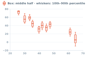 Halloween low temperatures by latitude in 10 U.S. cities, 1996–2025
Day's low (°F) ↑
Latitude (°N) →
-
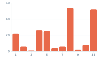 The 206 bones of an adult's body, part by part from head to toe
Bones (count) ↑
Body part (head to toe) →
-
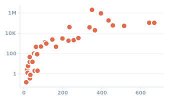 36 mammals: length of pregnancy and weight at birth
Weight at birth (g) ↑
Pregnancy length (days) →
-
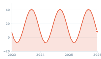 Voyager 1 seen from Earth, 2023–2025: how fast its distance from us changes
Change in distance from Earth (km/s) ↑
Year →
-
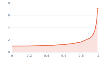 Years on Earth for each year on board a ship, at up to 99% of light speed
Earth years for a year on board (years) ↑
Ship speed (speed of light = 1) →
-
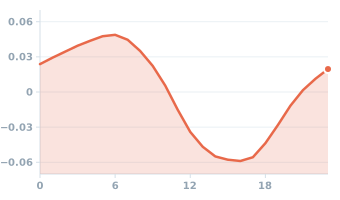 A day in the life of a tree trunk: Lebanon cedars in Turkey, summers 2013–2014
Trunk radius vs. daily average (mm) ↑
Time of day (hour) →