Hoh River Trail, Olympic National Park: from the rain forest to Glacier Meadows
Over the first 12 miles, through the rain forest, the trail ends only 496 feet higher. The last 5.4 miles gain a net 3,115 feet to Glacier Meadows, below Mount Olympus.
What does this axis measure?
Elevation (feet)
What does this axis measure?
Distance from the trailhead (miles)
Reveal the axesHide the axes
- y ↑
- Elevation (feet)
- x →
- Distance from the trailhead (miles)
Show the story, the data and the sourceHide the story, the data and the source
The data: 36 points
| Distance from the trailhead (miles) | Elevation (feet) |
|---|---|
| 0 | 589 |
| 0.5 | 632 |
| 1 | 633 |
| 1.5 | 641 |
| 2 | 704 |
| 2.5 | 671 |
| 3 | 681 |
| 3.5 | 717 |
| 4 | 773 |
| 4.5 | 774 |
| 5 | 777 |
| 5.5 | 789 |
| 6 | 824 |
| 6.5 | 858 |
| 7 | 921 |
| 7.5 | 904 |
| 8 | 974 |
| 8.5 | 931 |
| 9 | 947 |
| 9.5 | 964 |
| 10 | 992 |
| 10.5 | 985 |
| 11 | 998 |
| 11.5 | 1109 |
| 12 | 1085 |
| 12.5 | 1256 |
| 13 | 1479 |
| 13.5 | 1439 |
| 14 | 1915 |
| 14.5 | 2089 |
| 15 | 2524 |
| 15.5 | 2793 |
| 16 | 3344 |
| 16.5 | 3822 |
| 17 | 4114 |
| 17.4 | 4200 |
- Ran in puzzle #45 on November 10, 2026. Play it
More like this
-
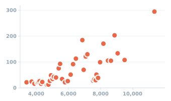 Colorado weather stations: elevation and normal yearly snowfall, 1991–2020
Yearly snowfall (inches) ↑
Elevation (feet) →
-
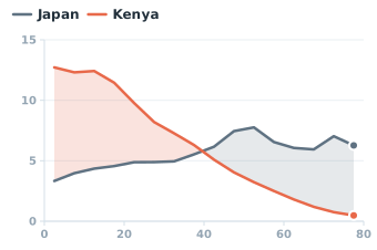 Japan and Kenya: share of the population by age, 2023
Share of the population (%) ↑
Age (years) →
-
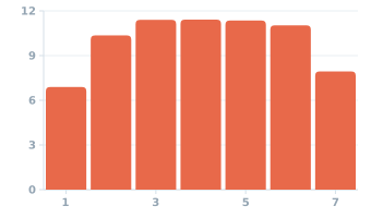 Average U.S. births per day, by day of the week, 2022
Births per day (thousands) ↑
Day of the week (1 = Sunday) →
-
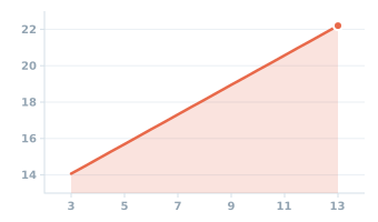 Inside diameter of a ring by U.S. ring size, 3 to 13
Inner diameter (mm) ↑
Ring size (US size) →
-
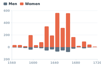 People accused of witchcraft in Scotland, dated cases by decade, 1560s–1710s
People accused (count) ↑
Year →
-
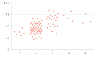 Halloween candy: traits of each treat and share of matchups won
Matchups won (%) ↑
Candy traits (count) →