Chile's mainland, coast-to-border width, 4,045 km from north to south
Mainland Chile is 332 km across 600 km south of its northern tip, in the Atacama, and 49 km at 3,600 km, where the fjords cut in; across 40 points 100 km apart it averages 171 km.
What does this axis measure?
Chile's width, coast to border (km)
What does this axis measure?
Distance from the northern tip (km)
Reveal the axesHide the axes
- y ↑
- Chile's width, coast to border (km)
- x →
- Distance from the northern tip (km)
Show the story, the data and the sourceHide the story, the data and the source
The data: 40 points
| Distance from the northern tip (km) | Chile's width, coast to border (km) |
|---|---|
| 100 | 136 |
| 200 | 174 |
| 300 | 148 |
| 400 | 185 |
| 500 | 220 |
| 600 | 332 |
| 700 | 327 |
| 800 | 205 |
| 900 | 210 |
| 1000 | 210 |
| 1100 | 195 |
| 1200 | 160 |
| 1300 | 149 |
| 1400 | 140 |
| 1500 | 128 |
| 1600 | 114 |
| 1700 | 130 |
| 1800 | 168 |
| 1900 | 168 |
| 2000 | 192 |
| 2100 | 190 |
| 2200 | 217 |
| 2300 | 216 |
| 2400 | 161 |
| 2500 | 172 |
| 2600 | 173 |
| 2700 | 143 |
| 2800 | 59 |
| 2900 | 102 |
| 3000 | 120 |
| 3100 | 153 |
| 3200 | 258 |
| 3300 | 171 |
| 3400 | 166 |
| 3500 | 102 |
| 3600 | 49 |
| 3700 | 194 |
| 3800 | 132 |
| 3900 | 264 |
| 4000 | 92 |
- Ran in puzzle #28 on October 24, 2026. Play it
More like this
-
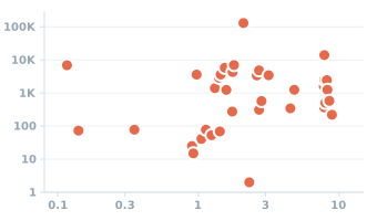 Strength and density of 37 materials, from concrete to graphene
Tensile strength (MPa) ↑
Density (g/cm³) →
-
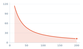 Angle of view of a camera lens across the diagonal of 35 mm film
Angle of view (degrees) ↑
Focal length (mm) →
-
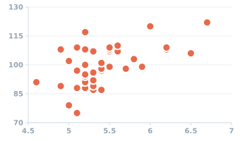 HbA1c and average sensor glucose in 40 adults
Average glucose (mg/dL) ↑
HbA1c (%) →
-
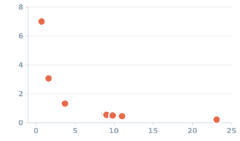 A superhero's leap: the same jump on the Moon, the planets and Pluto
Jump height (m) ↑
Surface gravity (m/s²) →
-
 Counting the prime numbers from 1 up to 100
Primes so far (count) ↑
Counting up to (number) →
-
 Halve it if even, triple it and add 1 if odd: how long until you reach 1?
Steps to reach 1 (count) ↑
Starting number (value) →