The San Juan River below Bluff, Utah: the age of the rock at the waterline
At Bluff the mapped rock at the waterline is about 177 million years old; 19 miles downstream, about 320 million. From mile 39 to 70, through the Goosenecks, it stays that old.
What does this axis measure?
Age of rock at waterline (million years)
What does this axis measure?
Distance downstream from Bluff (miles)
Reveal the axesHide the axes
- y ↑
- Age of rock at waterline (million years)
- x →
- Distance downstream from Bluff (miles)
Show the story, the data and the sourceHide the story, the data and the source
The data: 14 points
| Distance downstream from Bluff (miles) | Age of rock at waterline (million years) |
|---|---|
| 0 | 177.1 |
| 3 | 190.7 |
| 11 | 237 |
| 12.1 | 294.7 |
| 13 | 298.9 |
| 14.1 | 306 |
| 19 | 319.7 |
| 24.1 | 306 |
| 25.1 | 298.9 |
| 32.1 | 306 |
| 39.1 | 319.7 |
| 71 | 303.7 |
| 73.3 | 298.9 |
| 87.1 | 298.9 |
- Ran in puzzle #41 on November 6, 2026. Play it
More like this
-
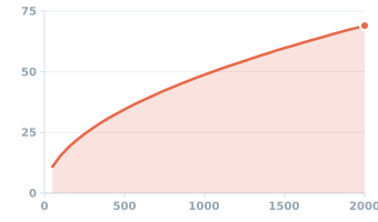 How fast ocean waves travel in deep water, by the length of the wave
Wave speed (mph) ↑
Wavelength (feet) →
-
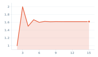 Each Fibonacci number divided by the one before it
Ratio to the previous number (times) ↑
Position in the sequence (number) →
-
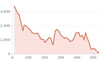 Kinds of sea animals in the fossil record, 529 to 12 million years ago
Kinds of sea animals (genera) ↑
Time before today (million years) →
-
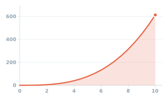 The power the wind carries through one square meter, by wind speed (sea level)
Wind power on a square meter (W) ↑
Wind speed (m/s) →
-
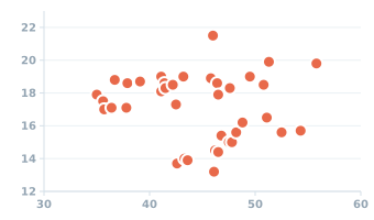 Penguin bill length and depth in Antarctica's Palmer Archipelago
Bill depth (mm) ↑
Bill length (mm) →
-
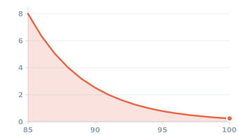 NIOSH's recommended daily limit for noise at work
Daily limit (hours) ↑
Noise level (dBA) →